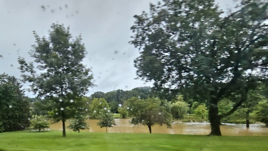
BETHLEHEM, Pa. — The Mid-Atlantic region was awash in heavy rain on Sunday, with flash flood warnings extended through the evening.
Storms pounded eastern Pennsylvania, including the Lehigh Valley, with widespread flooding before the heavy rainfall pushed to the east and gradually weakened overnight.
- Storms put down 3 to 5 inches of rain or more over eastern Pennsylvania on Sunday
- Disaster Action Teams from the American Red Cross of Greater PA responded to homes in Reading where more than 5 inches of rain fell
- It came as the Weather Prediction Center warned of an impressive set-up for significant flooding
In Allentown, police said the 1900 block of Union Street was closed just before 6 p.m., and flooding already had closed Hamilton Street from Ott Street to College Heights.
In North Whitehall Township, heavy rain flooded the area of Mauch Chunk Road near Willow Road.
In Northampton County, police blocked off the intersection of Palmer and Centre streets in Easton.
Disaster Action Teams from the American Red Cross of Greater PA responded to flooding affecting homes in Reading, where more than 5 inches of rain fell. Trained weather spotters also reported water rescues in Douglass Township, Berks County, and Route 222 was closed between routes 61 and 183 because of heavy flooding.
In Berks County, 222 remains CLOSED between 61 and 183 due to flooding.#BerksCountyTraffic
— TTWN Allentown (@TotalTrafficABE) July 9, 2023
Photo: PennDOT pic.twitter.com/JobC3hUYiF
It came as the Weather Prediction Center warned of an impressive set-up for significant flooding in place across northern portions of the Mid-Atlantic region.
How the system came together
Repeated rounds of back-building and training convective cells were the cause of the heavy rain, the National Weather Service said.
Back-building storms also are referred to as training storms. It happens when one storm forms, then another forms in its wake. On Sunday, that process continued throughout the day, pumping heavy rain over the region for an extended period of time.
Some of the storms were moving so slowly they caused an extreme amount of rain to fall in a short time, leading to flash flooding.
They’re referred to as training storms because, when viewed on radar, each new storm is like a car on a train.
The key to Sunday’s weather
According to the Weather Prediction Center, regional Doppler radars and infrared satellite scans depicted “a steady increase in slow moving convection in the general vicinity of a stalled frontal boundary.”
It created an environment ripe for heavy rainfall, with the stalled front “acting as a corridor of enhanced ascent with repeated rounds of back-building cells,” forecaster David Hamrick wrote in a discussion released in mid-afternoon.
Hamrick said high rainfall rates exceeding 1 inch of rain in 20 minutes were possible in some instances.
Rainfall totals
Rainfall totals varied across the region, from nearly 7 inches in parts of Berks County to lower amounts in Northampton and Lehigh counties.
Here were the totals reported in each area to the National Weather Service:
Berks County
West Lawn 6.69”
Reading 5.35”
Sinking Spring 4.95”
Bern Twp 4.41”
Hopewell 3.70”
Bucks County
Kintnersville 4.31”
Warrington 3.06”
Furlong 2.97”
Buckingham 2.66”
Quakertown 2.27”
Perkasie 2.27”
Carbon County
Palmerton 4.18”
Blakeslee 3.76”
Lake Harmony 3.04”
Lehighton 2.83”
Lehigh County
Lynn Twp 3.26”
Center Valley 3.16”
Germansville 3.14”
Weisenberg Twp 2.48”
Fogelsville 2.48”
Bethlehem 2.42”
Whitehall Twp 2.32”
Macungie 2.26”
Breinigsville 2.15”
Lehigh Valley Int’l Airport 2.10”
Northampton County
Martins Creek 3.76”
Easton 3.26”
Nazareth 2.46”
Northampton 2.01”
East Bangor 2.01”
Bethlehem 1.70”
Isolated showers and storms are possible again Monday, mostly north and west of Philadelphia, while Tuesday and Wednesday should be rain-free with lower humidity.
The Lehigh Valley has recorded 7.44 inches of rain since June 1. That's 1.62 inches above average for the time frame, but we're still in a rainfall deficit of -1.26 inches for the year.


