
BETHLEHEM, Pa. — No matter how you word it, hot is hot.
The National Weather Service has extended an excessive heat warning now in effect until at least 6 a.m. Wednesday, with dangerously hot conditions and heat index values up to 106 degrees.
An excessive heat watch for heat index values up to 105 will be in effect from Wednesday morning through Wednesday evening.
The difference in one degree does not change the messaging.
The general rule of thumb for a warning is when the maximum heat index temperature is expected to be 105 or higher for at least two days, with nighttime air temperatures not expected to drop below 75.
A watch is issued when conditions are favorable for an excessive heat event or when the risk of a heat wave has increased, but with the occurrence and timing still uncertain.
That uncertainty lies in the timing of a cold front set to cross the region Wednesday, finally cutting down the heat.
A sweltering summer thus far
🥵 Excessive heat and humidity are expected to build through early in the coming week with high temps from 90-100° and heat indices 100-110°. Practice heat safety wherever you are. Heat related deaths and illnesses are preventable! https://t.co/f9iuErJS8j #PAwx #NJwx #DEwx #MDwx pic.twitter.com/6FV986KitO
— NWS Mount Holly (@NWS_MountHolly) July 13, 2024
With temperatures in the 90s expected Monday through Wednesday, this latest round of extreme heat will push the Lehigh Valley to its 10th day in the 90s this month.
As long as the trend holds, it also will give us our 18th day of 90-degree temperatures since June 18, pushing past our yearly average for days reaching or exceeding 90 degrees.
According to the data from the Northeast Regional Climate Center, the past two months have been the warmest on record, with an average temperature of 72.6 degrees in the Allentown area.
The past six months also have been the second warmest on record, the data shows, and our year-to-date is the third warmest on record thus far.
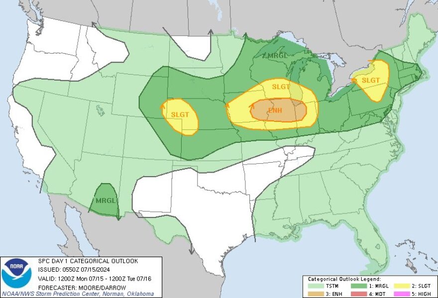
Severe weather on tap
High temperatures Monday are expected to soar into the mid- and upper-90s for most of the area, with dew points in the 70s.
This will yield max heat values of 100 to 105, with a threat for severe weather into the afternoon and evening, the Storm Prediction Center said.
While most areas will be capped at a chance (40%) of storms, damaging wind gusts, frequent cloud to ground lightning and heavy rain will be the main threats.
Tuesday is expected to be the hottest and most oppressive of this stretch, the weather service said in its latest forecast discussion.
Highs are expected largely in the upper-90s to near 100 across the region, with peak heat indices of 105 to 110 degrees north to south.
A large dome of cool air from Canada is forecast to bring a welcome relief to the heat across much the eastern two-thirds of the country as the new week progresses. In the meantime, please stay safe in the ongoing heat wave across the West and East Coast as well as the Plains. pic.twitter.com/2m1OotaY81
— NWS Weather Prediction Center (@NWSWPC) July 14, 2024
The excessive heat should begin to diminish Wednesday evening as a cold front brings showers and thunderstorms into the region.
Temperatures are expected to be closer to average Thursday through Sunday with lowered humidity.
