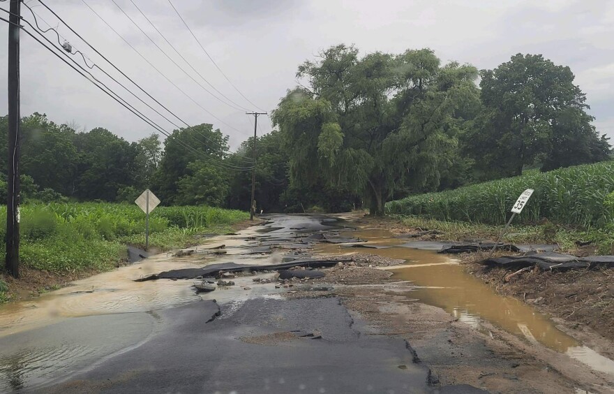
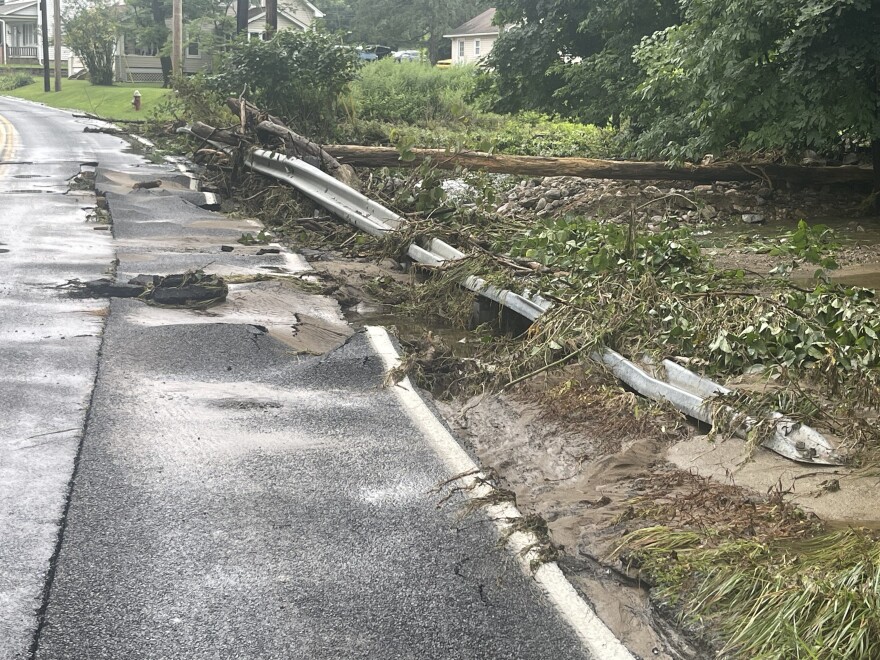
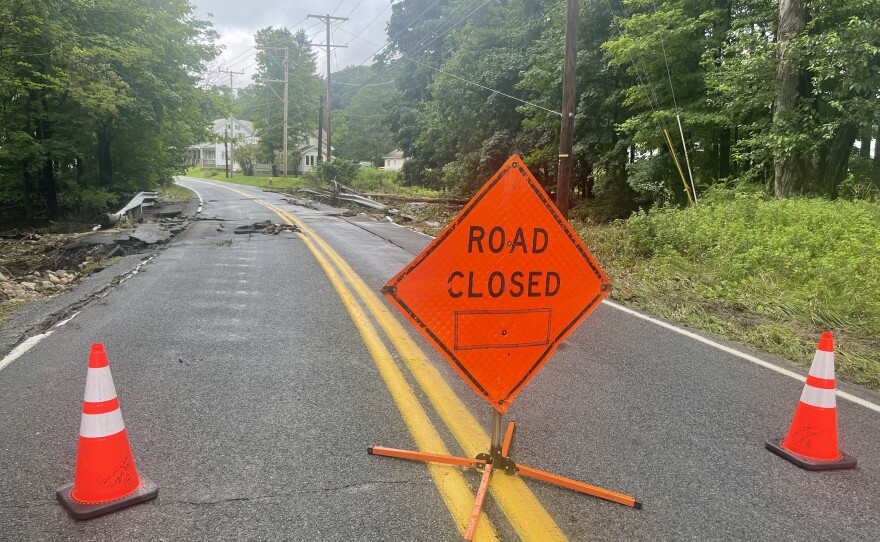
BETHLEHEM, Pa. — About a month's worth of rain fell on parts of the Lehigh Valley on Sunday, causing flash flooding and damaged infrastructure.
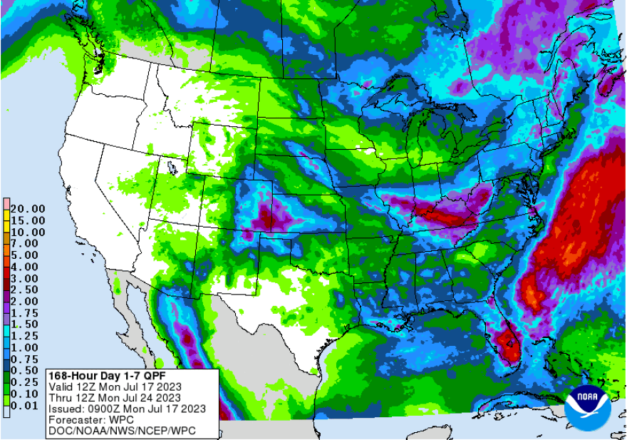
The National Weather Service expects the long-term part of the forecast to remain generally unsettled, with the driest day of the week expected to be Wednesday as we’re caught between disturbances.
- More than 4 inches of rain fell on parts of the Lehigh Valley early Sunday
- “It sounded like a train. It just roared,” one Bangor resident told LehighValleyNews.com
- The moist environment suggests that localized flooding may be an issue Tuesday, the National Weather Service said
Here’s what to know about Sunday’s flash floods, and how much rain is expected this week:
How much rain fell?
When a tremendous amount of rainfall occurs and the ground cannot absorb it, there’s a risk for flash floods.
Streets turned into raging waterways Sunday because the ground was already too saturated and a tremendous amount of rain fell in a short time. Because the water was unable to dissipate through the ground, it caused flash flooding above it.
According to a public information statement from the National Weather Service, these were the highest rainfall totals in the Lehigh Valley:
Columbia, in Knowlton Township in Warren County, New Jersey, reported 4.51 inches of rain.

Why has the rainfall been so heavy?
Warmer air holds more moisture than does cooler air, and the storms that unleashed heavy rainfall over the area early Sunday came from an incredibly warm, moist environment.
All that rainfall then dumped all at once in an intense burst.
Experts continue to warn that as the planet warms, rainfall and weather patterns will continue to change. As temperatures rise, the amount of water in the atmosphere will increase.
A phrase we’ll continue to hear is “precipitable water” — the amount of water available in the atmosphere for precipitation.
High dew points aid in producing high values of precipitable water, and moisture advecting from a warm ocean transports significant amounts of water that leads to higher precipitable water values.
What’s the difference between a flood and flash flood?
Flash floods travel at high speed and they catch people off guard, as they did Sunday in Bangor as water rushed like a freight train down Messinger and Lower South Main streets.
A flash flood takes a very short time to materialize, requiring excessive or extreme rainfall in a short window — generally about six hours, according to the National Weather Service.
Sunday’s flash floods occurred a lot faster, turning streets into raging torrents of water.
General flooding is an overflow of water onto normally dry land and is a long-term event that may last days or weeks.
How much rain is coming this week?

Forecasters say this active, wet and humid weather will give way to smoke from the Canadian wildfires on Monday. But another warm, muggy day is expected with thunderstorms possible Tuesday as another cold front approaches.
Later in the week, a more potent cold front is expected to pass through on Thursday or Friday, bringing more precipitation.
“The moist environment suggests that localized flooding may be an issue [Tuesday], even while storms appear they will not linger in any one spot for very long,” the latest NWS forecast discussion said.
One or two periods of fairly widespread shower and thunderstorm activity are also expected Thursday and Friday.


