
BETHLEHEM, Pa. — Extreme heat that has baked most of the U.S. Southwest soon will soon produce dangerously high temperatures in the Lehigh Valley, experts say.
But what’s the science behind the sauna-like conditions headed our way?
Unofficially, the culprit is a “heat dome” — defined by the American Meteorological Society as an “exceptionally hot air mass that develops when high pressure aloft prevents warm air below from rising.”
“It’s more of a sensationalistic term.”EPAWA meteorologist Bobby Martrich
“It’s more of a sensationalistic term,” EPAWA meteorologist Bobby Martrich said Thursday.
He described a heat dome as a strong upper air ridge “just sitting over us” [and a large swath of the Mid-Atlantic and Northeast] delivering scorching temperatures expected to linger for days.
Forecasters often compare a heat dome to putting a lid over a pan, which helps trap the heat.

A heat wave, on the other hand, is defined as a stretch of abnormally hot weather generally lasting three or more days with temperatures topping at least 90 degrees.
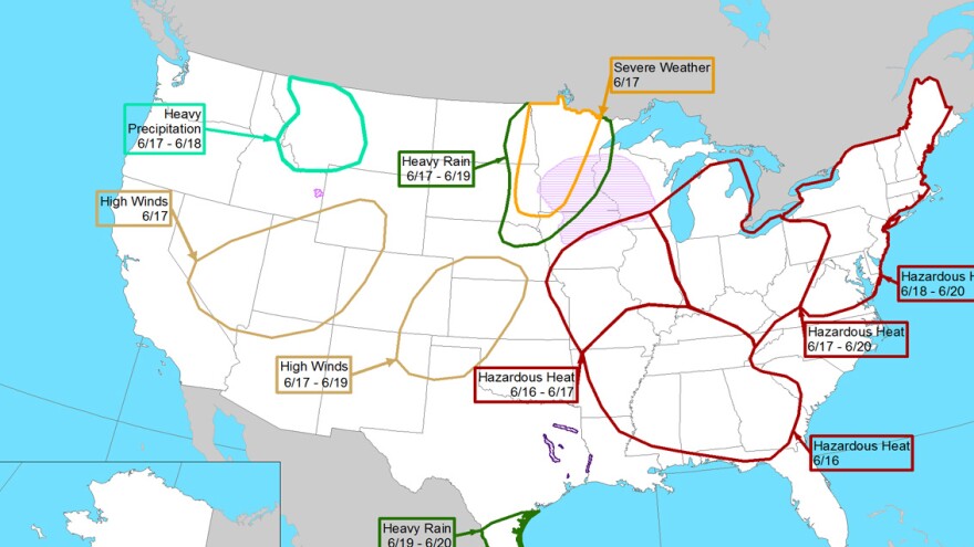
No matter what we call it, hazardous weather is expected across the area, according to the Weather Prediction Center.
The pattern “will likely support a broad area of hot and dry weather, with the greatest anomalies and potential for daily records extending from the Ohio Valley/Lower Great Lakes into the northern Mid-Atlantic/Northeast,” an extended forecast discussion said.

Comparisons to 1994, and how many will be affected
The anomalous warmth of June 1994 rewrote the record books in numerous locations, and the WPC says that while upcoming pattern details differ, “the axis of greatest temperature anomalies in the current forecast shows some similarity to the 1994 heat wave that was observed around the same time in June."
The current forecast projects multiple days of reading 10 to 20 degrees above normal, translating to highs in the upper 90s, along with lows in the upper 60s to 70s, providing very little relief overnight.
As the heat strengthens and expands, it could put up to 135 million people at risk, with the heat index (a combination of heat and humidity) several degrees higher than the air temperature.Accuweather
The heat wave likely will extend from Monday into the following weekend, forecasters say.
According to estimates by AccuWeather and others, more than 100 million people will experience the heat wave, in an area stretching from the Mississippi Valley to southern New England.
But as the heat strengthens and expands, it could put up to 135 million people at risk, with the heat index (a combination of heat and humidity) several degrees higher than the air temperature.
As impacts are felt locally, Allentown pools will be open to residents and season pass holders only as capacity allows, at no cost but with ID required.
Once pools have reached capacity for the day, no additional entries will be allowed, the city said in a news release.
Cooling stations operated by the Allentown Fire Department will also be available at various locations throughout the week, and several public buildings have been designated for residents to cool off in air conditioning as needed.
