BETHLEHEM, Pa. — It’s not just “beginning to look a lot like Christmas.”
It’s beginning to feel like it, too.
On a weekend to-do list that might include stringing lights and putting up the tree, Lehigh Valley residents should also use a little time to swap out their wardrobes.
The National Weather Service says it’s “time to dust off those winter jackets if you haven’t already,” with a prolonged period of colder-than-normal weather ahead.
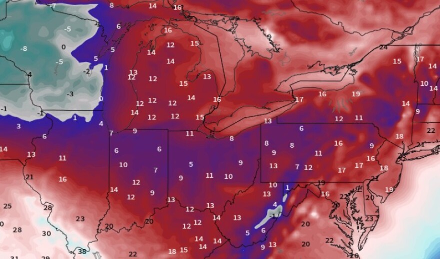
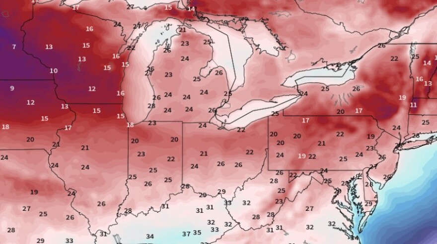
Highs in the 30s and lows mainly in the 20s are forecast for the weekend and well into next week, which could be jarring on the heels of one our warmest Novembers on record.
With an average of 47.8 degrees this month, it’s the sixth-warmest ever for the Allentown area, and also the warmest November we’ve had since 2015, when the average was 48.7 degrees.
Here comes the cold
Starting Saturday morning, lows should dip into the 20s every day for the foreseeable future.
Wind chills overnight will be in the teens.
Forecasters say the cold air set to pour into the region originated north of Russia, making a roughly 4,000-mile journey on its way to Pennsylvania.
The air mass is expected to stick around until at least mid-December, with models projecting daytime highs in the 30s and nighttime lows that should range from the low to mid 20s.
The teens are a near-certainty in the Poconos.

What’s driving the pattern?
“Through the first week or so of December, the pattern will look like this, which will limit precipitation to coincide with cold air,” EPAWA meteorologist Bobby Martrich said on X, while sharing an explainer graphic with followers.
It's been well advertised that after the Thanksgiving storm exits, it will turn much colder relative to average and for an extended period. But through the first week or so of December, the pattern will look like this, which will limit precipitation to coincide with cold air.… pic.twitter.com/lz5Bbgq9nT
— Bobby Martrich | EPAWA (@epawawx) November 27, 2024
It depicted the jet stream — that river of high-altitude winds way above us that separates warm and cold air — taking a dip over the eastern United States, allowing cold air to pour into the region.
What’s more, Martrich said some fast-moving clippers should be expected in the middle of next week, with at least some light snow and snow showers possible.
“I think the pattern will be a little bit more favorable for something a bit more organized in the middle of the second week of December, and it will still be colder than average in week 2,” he said.
“Until then, there is no connection between the northern stream to the southern jet, hence generally weaker fast-moving northern stream systems."
The weather service said the pattern should remain “relatively static” for the first few days of the long-term period, with Monday through Wednesday of next week “near identical copies of each other.”
But models show an approaching Alberta Clipper crossing the region Wednesday night into Thursday.
“With cold air in place, it’s possible we could see a widespread, albeit light, accumulating snow,” the latest NWS forecast discussion said.
An Alberta Clipper is a fast moving system that moves southeast out of the Canadian Province of Alberta through the Plains, Midwest, and Great Lakes region — usually during the winter. It’s usually accompanied by light snow, strong winds, and colder temperatures.


