BETHLEHEM, Pa. — The stretch of days without measurable precipitation ended at all major climate sites across the region Sunday, the National Weather Service said.
That’s the good news.
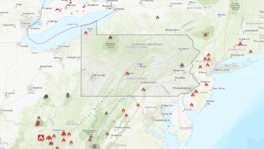
The bad news is that the rainfall was barely a drop in the bucket against severe drought conditions that continue to expand.
“The main feature in this period will be the secondary cold front on Tuesday,” with “little opportunity” for precipitation and another day of windy conditions.National Weather Service
A rainfall monitoring site maintained by the weather service showed the following totals across the area early Monday:
Lehigh County:
Allentown (Lehigh Valley International Airport): 0.29 inches
Bethlehem: 0.28 inches
Breinigsville: 0.31 inches
Center Valley: 0.33 inches
Coopersburg: 0.2 inches
Fogelsville: 0.35 inches
Germansville: 0.25 inches
Macungie: 0.27
New Tripoli: 0.23 inches
Slatington: 0.26
Trexler: 0.23
Whitehall Township: 0.3 inches
Northampton County:
Bethlehem: 0.29 inches
Easton: 0.35 inches
Martins Creek: 0.25 inches
Nazareth: 0.26 inches
Walnutport: 0.29 inches
Some of the highest totals were in Carbon and Monroe counties and points north, where reports had rainfall near a half-inch in a handful of locations.
Fire weather remains a concern

The weather service said any lingering rain will quickly taper off through the early to mid-morning on Monday as a cold front sweeps through the area.
“This initial front won’t be too strong in terms of temperature contrast, but will start to bring down the dew points as winds shift to more of a westerly direction,” the forecast discussion said.
Gusts of 20 to 30 mph are possible by midday into the afternoon, with highs ranging from the upper 50s to low 60s north to the low 70s south.
“The main feature in this period will be the secondary cold front on Tuesday,” the weather service said, highlighting “little opportunity” for precipitation and another day of windy conditions.
Gusts of 25 to 40 mph are possible during the day, with dry air expected in the wake of the cold front.
“Consequently, this could set the stage for another risk of fire spread,” the discussion said.


