BETHLEHEM, Pa. — The Lehigh Valley is expected to see substantial, widespread rainfall Sunday for the first time since late September — bringing with it hidden risks, officials say.
Both the National Weather Service and officials from the state Department of Transportation say the first rain after a dry spell can be dangerous, for numerous reasons.
Data from the National Centers for Environmental Information, along with traffic crash records from the National Highway Traffic Safety Administration, show the risk of an accident on a rainy day increases with the length of the dry spell preceding it.
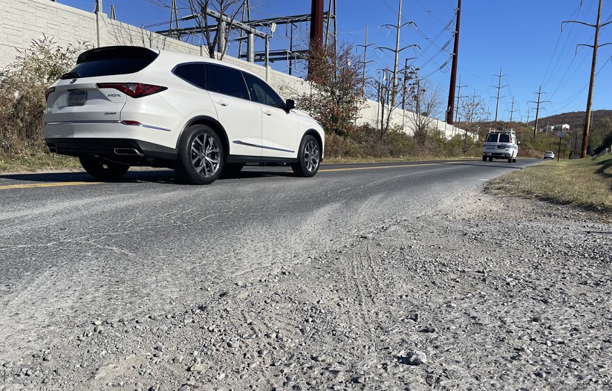
That's because oil and debris accumulate on roads when it hasn’t rained for a while, making things very slick — similar to driving on icy roads — once the rain starts.
The last substantial rainfall in the area came Sept. 28, when nearly a quarter-inch fell at the climate station at Lehigh Valley International Airport.
Three-hundredths of an inch of rain fell the next day, but the month of October was bone dry. It saw only two days where a hundredth of an inch of rain fell, and five others with a trace – rainfall that barely wets the surface.
It’s not the only risk the rain will bring.
“This time of year, I always like to remind motorists to be cautious of the hazard of wet leaves. Wet leaves on the roadway can be as slippery as ice,” said Sean Brown, safety press officer for PennDOT’s District 5, which includes the Lehigh Valley.
Brown said leaves can obscure traffic lines and other pavement markings, making driving in unfamiliar areas particularly difficult. Motorists should slow down and use extra caution on leaf-covered roadways, he said.
Brown said November also is the time of year that brings an increased risk of deer-related crashes, and offered the following tips for drivers:
- Increase your following distance in severe weather, at dusk and dawn and when in an area with wet leaves. If you are being tailgated, let the other driver pass.
- Slow down and use caution, particularly where deer crossing signs are posted and increase following distance between vehicles;
- Be especially watchful during morning and evening hours when wildlife is most active;
- Exercise caution when one deer crosses a roadway. Since deer often travel in small herds, one deer will usually be followed by others;
- Always wear your seat belt;
- Never drive impaired; and
- Turn on your headlights if your wipers are on — it's the law.
Timing, expected totals

Sunday’s rain is expected to arrive in the later part of the day, the weather service said in its latest forecast discussion.
“The amount of rain will not break the ongoing drought, however 0.25-0.50 inches of rain is certainly something and this will end the lengthy consecutive days of no measurable rain,” the discussion said.
While some models are a bit faster with the onset of precipitation Sunday, showers mainly look to be confined to the second half of Sunday, especially at night, forecasters said.
Long-term guidance suggests additional rainfall could arrive in the back half of next week, potentially Thursday.


