Bethlehem Live Weather Camera
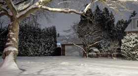
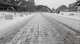
This is a live look at SteelStacks in Bethlehem outside of our studio.

sluhn.org
WEATHER-RELATED STORIES FROM THE NEWSROOM
-
While the snow took a few hours to start piling up, by mid-afternoon it was falling at rates of two inches per hour in some parts of the Lehigh Valley. Dangerous cold will follow the snow, forecasters say.
-
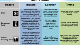
Following a Winter Storm Warning, The National Weather Service at Mount Holly, New Jersey has now issued a cold weather advisory for the Lehigh Valley and surrounding areas, warning of "dangerously cold" temperatures this week.
-
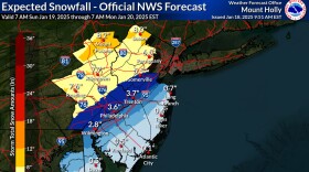
If predictions stay true, the Lehigh Valley would be on the higher end of the 4- to 7-inch range of snowfall. PennDOT and the PA Turnpike Commission have set vehicle and road restrictions.
-
Depending on how the system evolves, a robust and plowable storm seems like the more likely scenario for the region, with the timing on potential snowfall beginning to lock in for Sunday afternoon.
-
Confidence has increased for a clipper system to bring light snow to the region on Thursday, with potential for additional accumulation Sunday into Monday. The coldest air mass of the season arrives behind it, forecasters say.
-
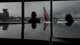
Delta flights to and from Atlanta were among those impacted at Lehigh Valley International Airport on Friday.
-
Just like Monday, which offered little in terms of intense snowfall, Saturday’s wintry weather could essentially be a “non-event” for much of the Lehigh Valley and the rest of the region, the National Weather Service said.
-
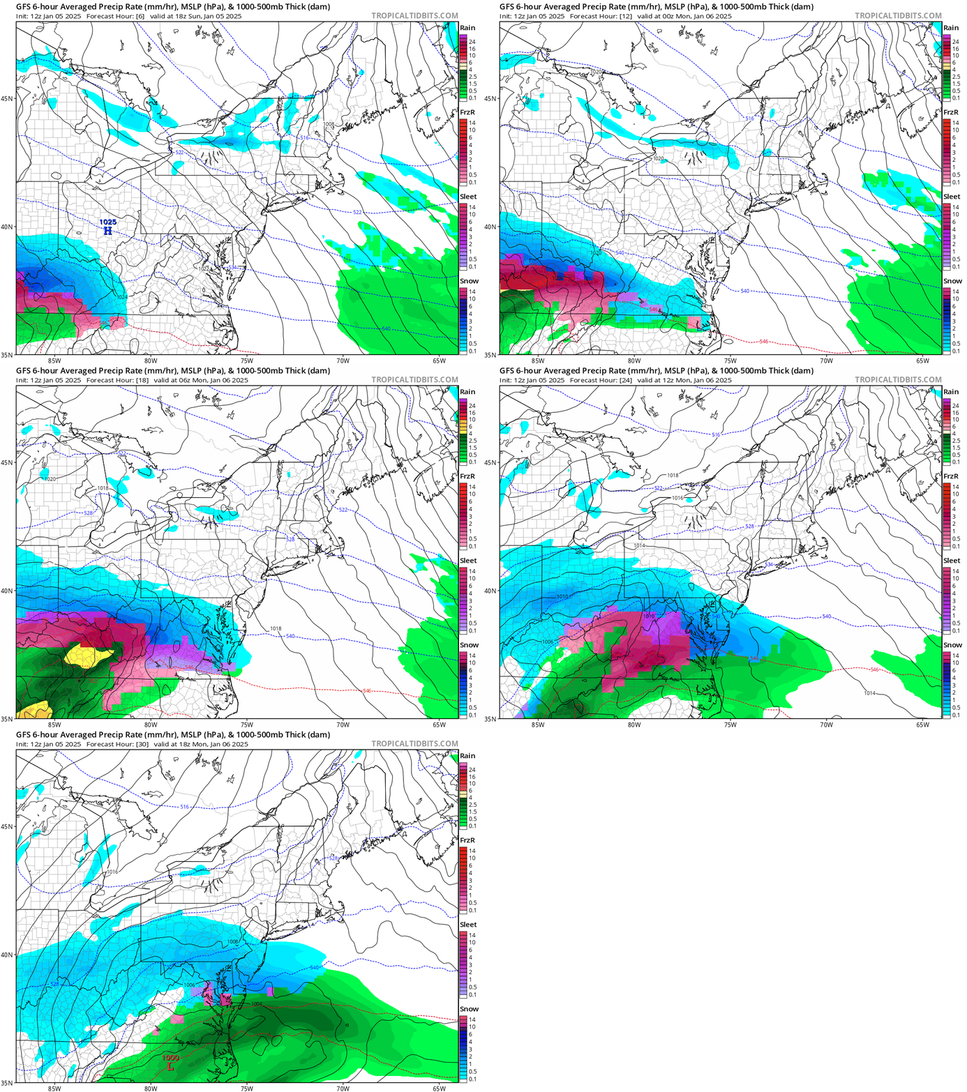
The latest snow storm has shifted south, meaning the area should see a few inches of snow from early Sunday morning into Monday. Surrounding areas are expected to experience hazardous travel conditions.
-
With the system three days away, the weekend will serve as the calm before the storm, with questions remaining on exactly where it will track and how much snow will fall across the region.
-
While Friday may only bring a dusting to an inch of snow for the Lehigh Valley, forecasters say it could be a sign of things to come. They're watching trends for Monday continue to pull the next system north.
-
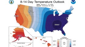
The National Weather Service said Monday the scenario will lead to “exceptionally high probabilities of below-normal temperatures expected across much of the East," but the true intensity of the cold is still unknown.
-
More than 300 Met-Ed customers were impacted by damage to three poles when a tree fell into lines near South Delaware Drive in Easton, which reportedly closed the road as well.

