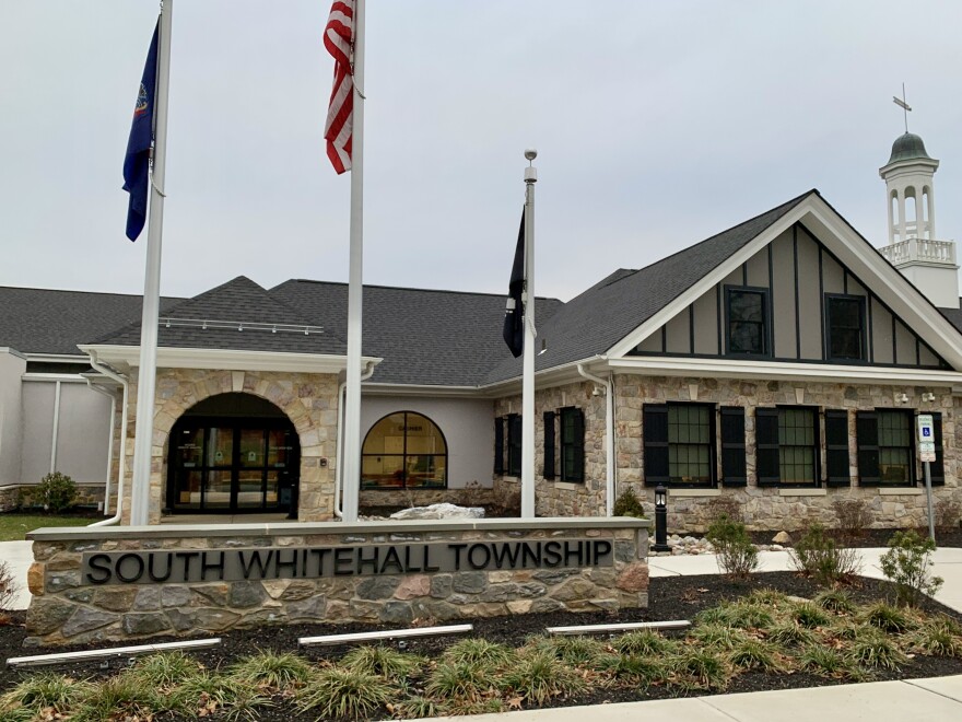
SOUTH WHITEHALL TWP. — The township faces intense development pressure, and now it has approved a guide on what needs to be preserved and how to do it.
After weeks of discussion and planning, the township Board of Commissioners on Wednesday unanimously passed its landscapes plan.
It documents the township's current agricultural, undeveloped and preserved land, as well as proposed action items for the township to follow.
That includes building an inventory of all the township's open spaces and historic resources and investigating opportunities to naturalize open spaces.
Fifty-six percent of the township's 11,000 acres is developed and 1.5% of total land approved to contain future development.South Whitehall Township landscape plan
It was born out of South Whitehall's new Comprehensive Plan prioritizing resource protection. That plan was adopted in March of last year.
The plan says 56% of the township's 11,000 acres is developed and 1.5% of total land approved to contain future development.
The plan seeks to guide the municipality in preserving natural resources, given continued significant development pressure.
That includes near the Hamilton Boulevard corridor and large residential proposals such as Ridge Farms, which created a wave of contention in South Whitehall.
It pushes township commissioners to have a more managed outlook on development in the township.
The ordinance passed Wednesday directs all township staff and officials to implement the goals and actions identified, provided they don't require the expenditure of funds other than those budgeted and approved by commissioners or require adopting amendments of any township ordinances.
But it encourages the submission of proposals in support of the plan of budgetary items or ordinance amendments for future potential implementation.
2024 South Whitehall Lands by LehighValley Newsdotcom on Scribd
'Look at holistically'
"Some of the content here, the potential in uses are just beautiful," Commissioner Diane Kelly said of the document. "I'm very much looking forward to next steps."
Commissioner Jacob Roth praised those who worked on it, and emphasized the need to bring the plan into implementation, so it doesn't just live on a shelf once approved.
To create the plan, the township consulted with local residents and stakeholders within the township, conservation and agricultural experts.
It also used the services of Jeffrey Marshall of Open Spaces & Historic Places and Michael Baker International to develop the final plan.
Township Community Development Director David Manhardt said in October that the plan focuses on many different types of resources because they all can come together to form a cohesive landscape.
“Having a historic structure in the context of agricultural fields or a natural area around a structure is really something that we wanted to focus on and look at holistically as opposed to just resource-specific.”Township Community Development Director David Manhardt
“Having a historic structure in the context of agricultural fields or a natural area around a structure is really something that we wanted to focus on and look at holistically as opposed to just resource-specific,” Mandhardt said.
Lehigh Valley Planning Commission gave praise to the plan last month, with members saying they were impressed with the audit of natural resources present the plan contained, as well as the goals it set forth to preserve and manage it.
What it contains
Policy recommendations in the new document include a zoning and subdivision and land development ordinance, or SALDO, a new official map, a new historic preservation ordinance and updates to tree policies were marked as policy and regulatory goals.
A zoning update would include an open space zoning overlay for the Jordan Creek Valley area.
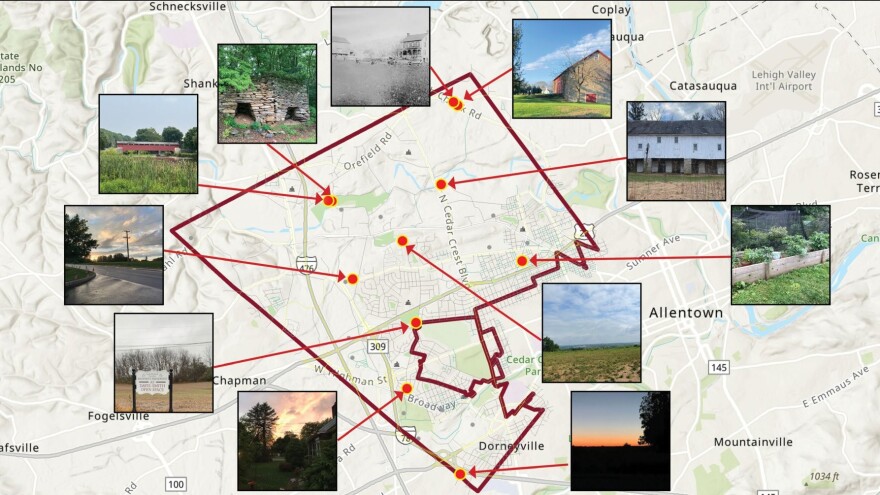
The plan also outlines strategies to preserve and celebrate its local history, such as posting signage, creating a survey of historic resources, create a categorized inventory of open spaces, retrofitting historic properties and encouraging citizens to create a historical society.

Many respondents voiced appreciation for the township's historical farmhouses and covered bridges.
One of the draft plan's recommendations is to create an open space tax to help fund agricultural and natural resource preservation efforts.
The tax is slated to be on the May 20 primary ballot next year.
The plan states that the township has 3,100 acres of agriculture lands, primarily along Jordan Creek — about 95% of which is "farmed by two farmers, one of which owns all of their farmland and the other who leases their fields."
'Overwhelming support'
The proposed open space tax, such as what was implemented in Lower Macungie Township, would help the township acquire properties to designate as preserved.
Currently 6.5% of total land in the township is preserved as undeveloped, the plan states.
It says public feedback has revealed "overwhelming support" for "preserving as much remaining land as possible" by residents.
But it's unrealistic to protect all remaining undeveloped land given private property rights and the need to support growth for economic stability, the report says.
Other strategies include legal agreements with property owners, zoning updates and deed restrictions. The township also plans to investigate new yard waste and composting programs.
Alongside policy and study efforts, the plan outlines a slate of potential outreach and education programs regarding agriculture, conservation and history.
The full plan can be read here.


